Gerloser Wiesenweg

Overzicht

Wandeltijd
04:45 h
Tijd bergop
02:30 h
Tijd bergafwaarts
02:15 h
Lengte
13.4 km
Hoogtewinst bergop
684 hm
Hoogte bergafwaarts
684 hm
Het hoogste punt
1948 m
webx_gs_stamina
pictogram?
webx_gs_skill
pictogram?
webx_gs_public_transport

With the bus 4094 to Gerlos.

​Exit point: Isskogelbahn

webx_gs_parking

At the Isskogelbahn

Route Start

Isskogelbahn valley station (1.300m)

Route End

Isskogelbahn valley station (1.300m)

Altitude Profile

Weather

weer vandaag
26° Zon- en stapelwolken, regenbuien en onweer mogelijk
weer morgen
21° Zon, wolken, regenbuien

Description

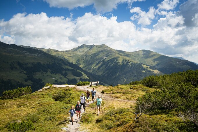
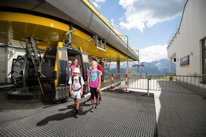
The hike along the Gerlos Wiesenweg begins in the Innertal district at the Isskogelbahn car park. Before the Krummbach Bridge, the road leads left past Landhaus Platzer. After approx. 100 m the asphalted road branches off to the right. Always following the Gerlos Wiesenweg uphill, you can reach the “Rössl Alm” in about 1.5 hours. From there a path leads to the mountain station of the Isskogelbahn and on to the Latschenalm.

Return on the same route.

jouw nieuwsbrief

Meld je aan voor onze nieuwsbrief en ontvang elke maand de beste tips over de Zillertal Arena, actuele aanbiedingen, evenementen en nog veel meer.

De inhoud kan niet worden weergegeven.
Accepteer de cookies om de inhoud te laden.