Roller (1.945 m) - Mitterjoch

Overview

Walking time
04:15 h
Time Uphill
02:30 h
Time downhill
01:45 h
Route Length
10.4 km
Difficulty
Middle
altitude meters uphill
724 hm
altitude meters downhill
724 hm
highest point
1926 m
webx_gs_stamina
pictogram?
webx_gs_skill
pictogram?
Route Start
Hotel Kröller
Route End
Roller (1.945 m)

Altitude Profile

Weather

weather today
10° Sun and clouds
weather tomorrow
10° Lots of clouds, some sun

Description

Lonely forest hike with surprising views
From the entrance to the Wimmertal, walk along the main road for a short distance until a narrow driveway branches off to the left. After a few meters you reach the path to the roller (1,945 m). Now begins an enjoyable forest hike on a steadily ascending path and you reach the summit in about 2.5 hours.
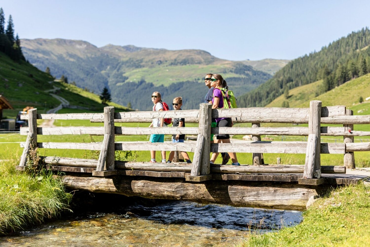
Return via the Wimmertal back to Gerlos-Gmünd.
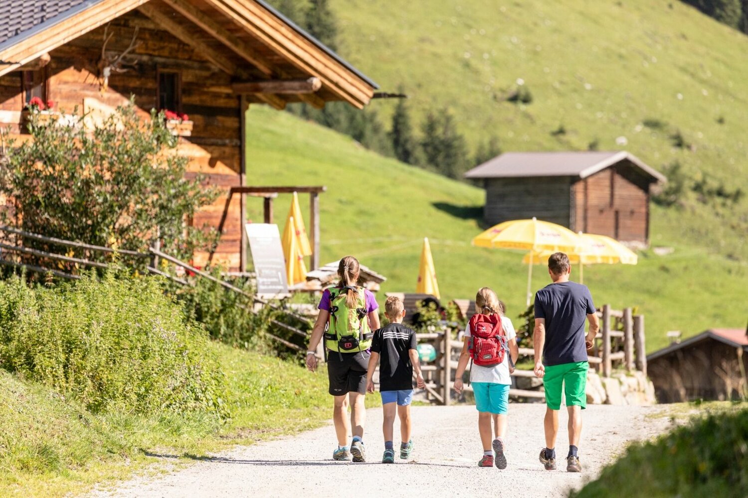
Huts on the way: Wimmertalalm, Klemm's Jausenhütte
Your newsletter

Sign up for our newsletter and receive the best tips every month for the latest offers, ski area, events and much more.

Der Inhalt kann nicht angezeigt werden.
Bitte akzeptieren Sie die Cookies, um den Inhalt zu laden.
Close menu