Duxeralm - Plattenkogel


Description
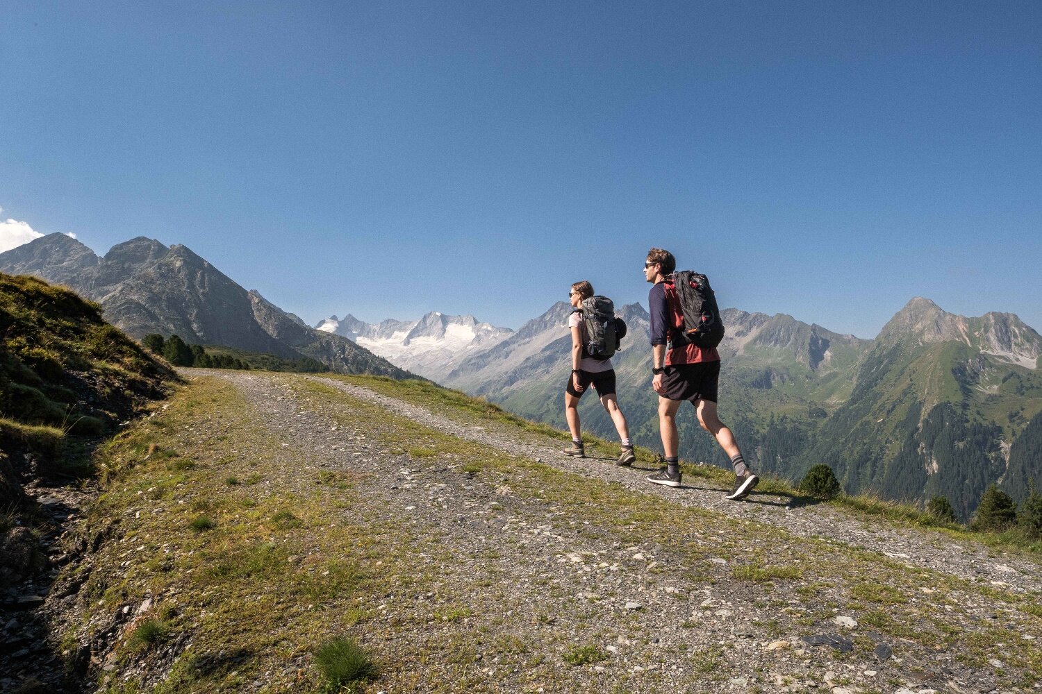
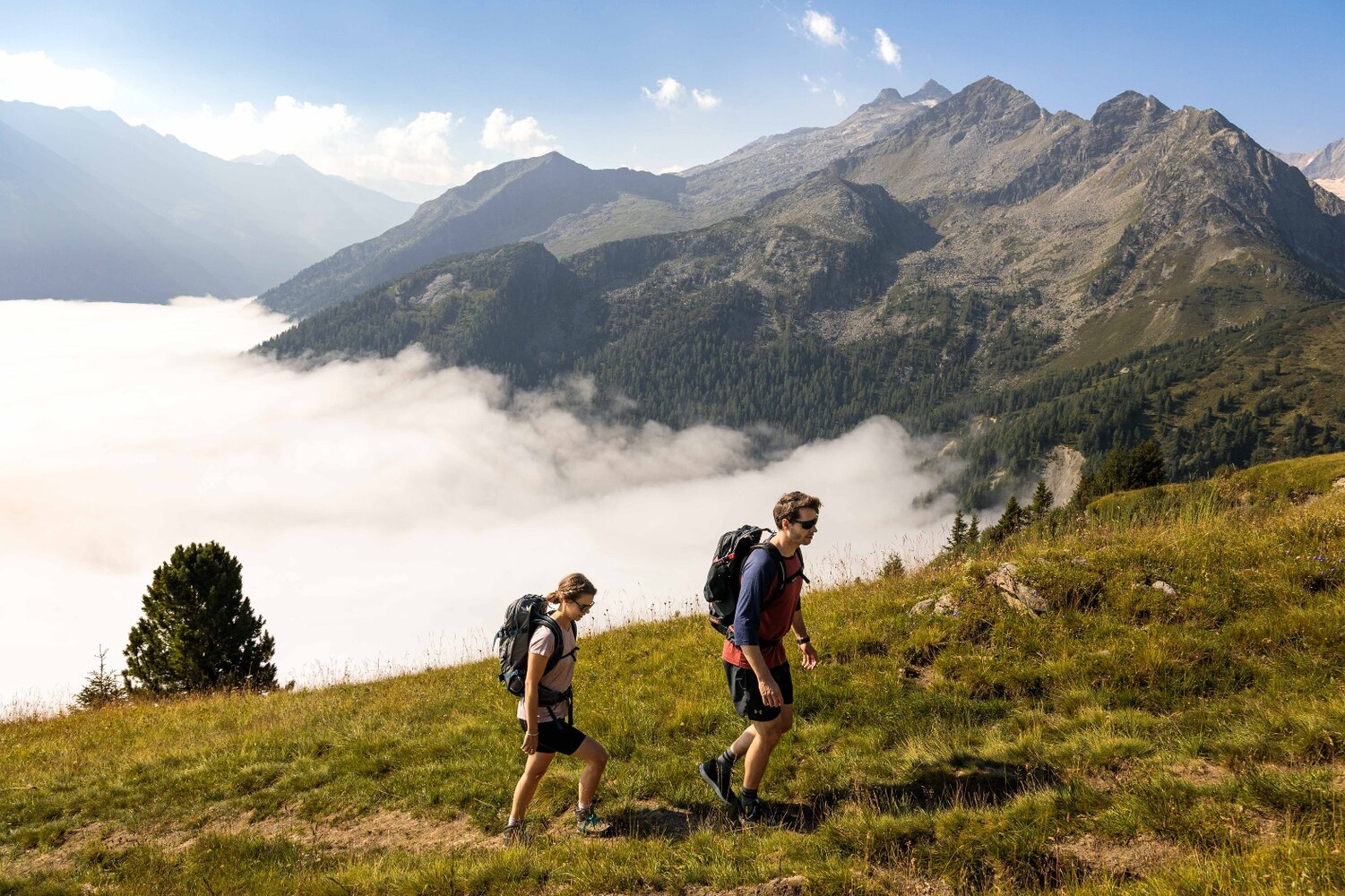
beautiful circular trail with summit and panorama
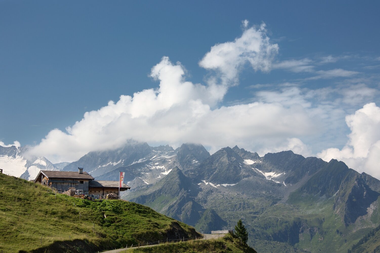
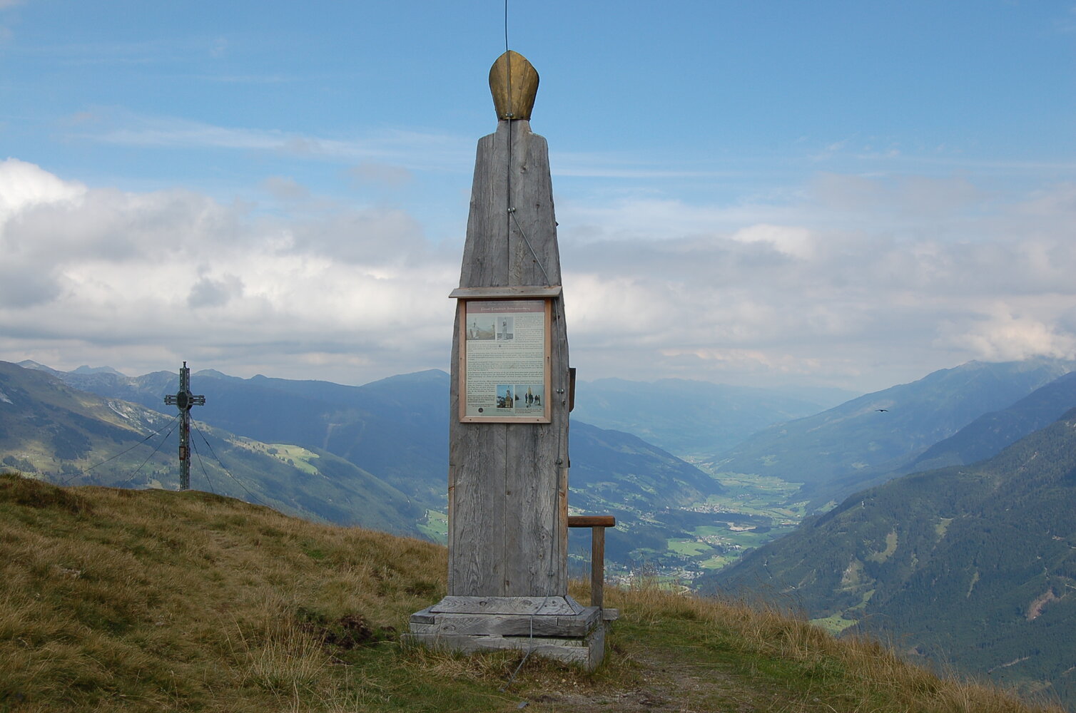
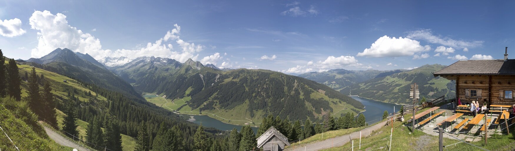
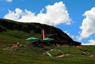
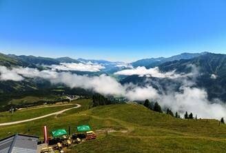
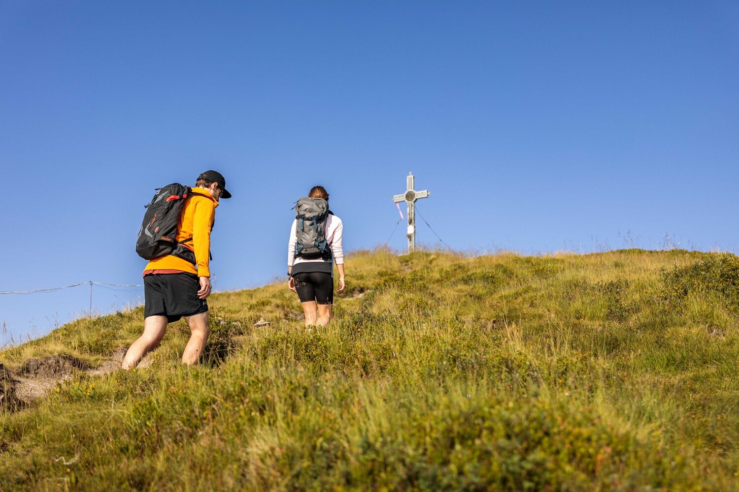
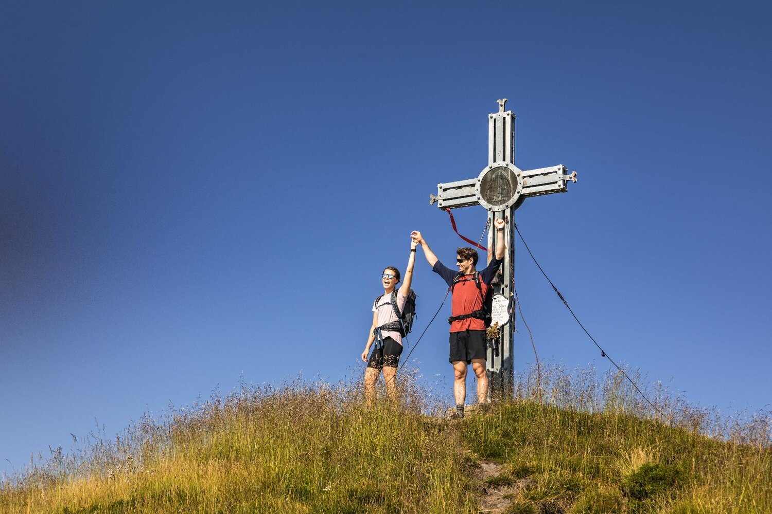
This circular trail starts in the Duxeralm district of Hochkrimml. From here, the path leads next to alpine meadows to the summit cross of Krimml's local mountain - the Plattenkogel. At the summit, in good weather, you have a magnificent view of the Hohe Tauern with the glaciated peaks, as well as in an easterly direction over the entire Salzach Valley and in a westerly direction into the Tyrolean Zillertal. The descent takes us in the direction of the Silberleiten district. On the way, you can make a short detour to the Gletscherblick Alm. From the Silberleiten you hike back to the starting point.