Krimmler Achental
Overview
Duration
20.46 km
Route Length
20.46 km
Difficulty
Middle
Roundtrip
No
altitude meters uphill
819 hm
altitude meters downhill
11 hm
highest point
1848 m
Route Start
Tourismusbüro Krimml
Route End
Innerkeesalm
Altitude Profile
Weather
Description
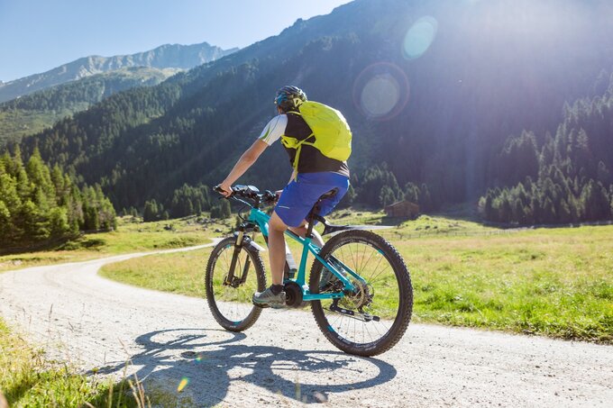
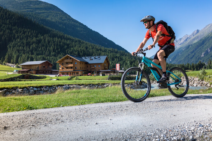
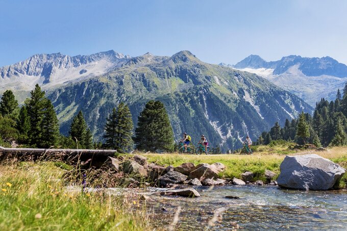
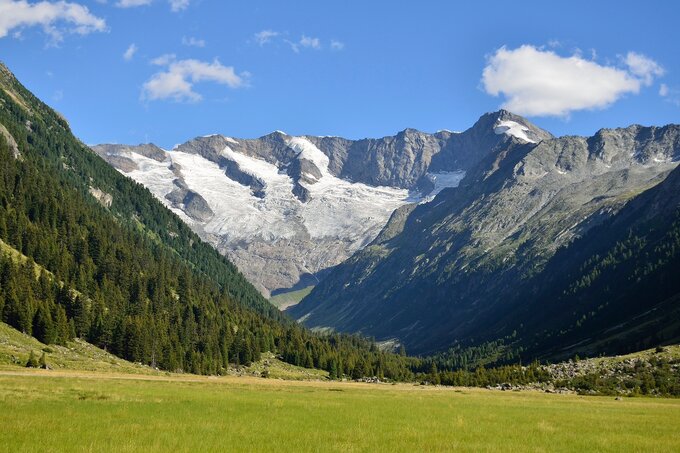
Past the biggest waterfalls in Europe, rustic mountain huts and the historic Krimmler Tauernhaus, in beautiful Achental.
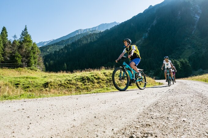
After leaving the town of Krimml behind you as you head in the direction of the Gerlos Alpenstrasse, in roughly 2 km you will come to a turnoff on the left-hand side, taking you to a lane which runs in the direction of Krimmler Achental. Now comes the most physically challenging stage, a climb alongside the Krimml Waterfalls as far as the Anna Tunnel (length 300 m, unlit). From there, a hiking and biking path runs parallel to the Krimmler Ache, past rustic huts and refreshment points to the valley head. There, you have the opportunity to head up to the Warnsdorfer Hütte or, if you prefer, backtrack to the first turnoff, then make a detour (2.5 km) into Windbachtal as far as the Windbachalm, before leaving the valley again and returning to your original starting point.
