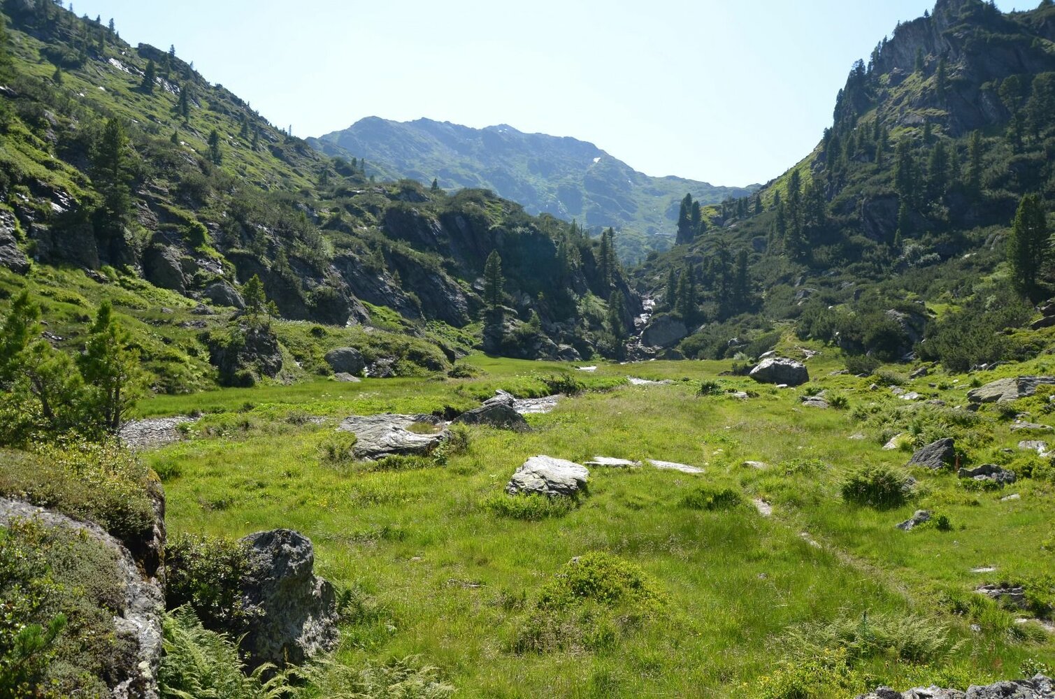
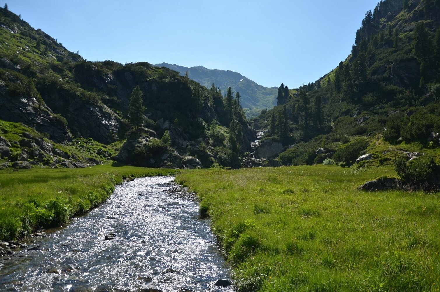
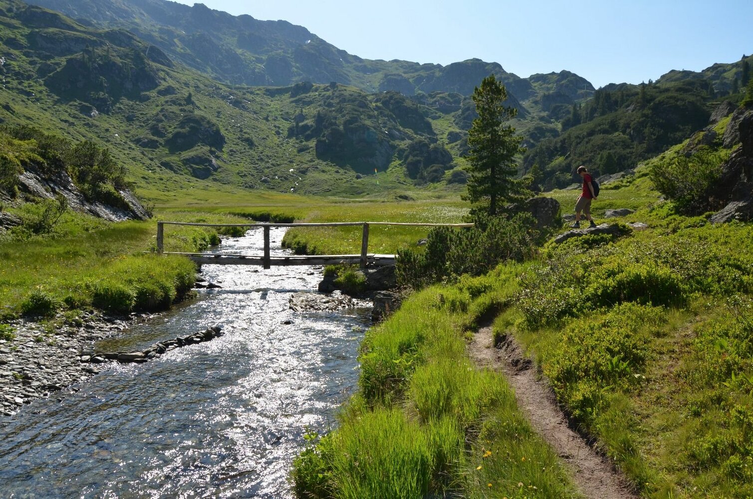
Krummbachtal
Description
2 - hour easy walk - light hiking shoes recommended!
Trail for young and old in untouched nature.
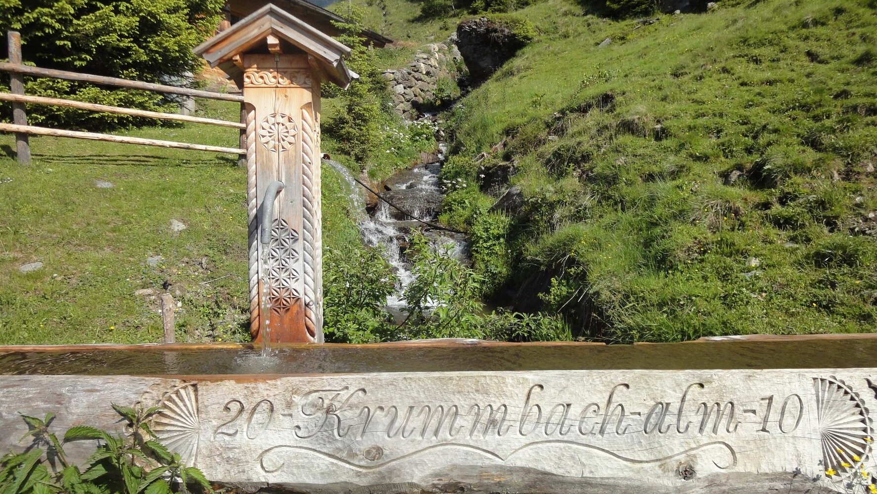
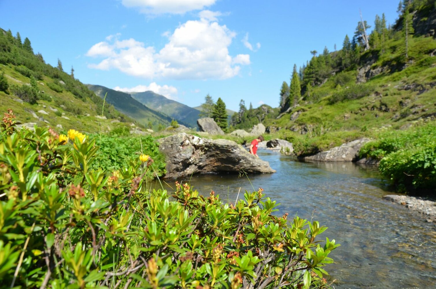
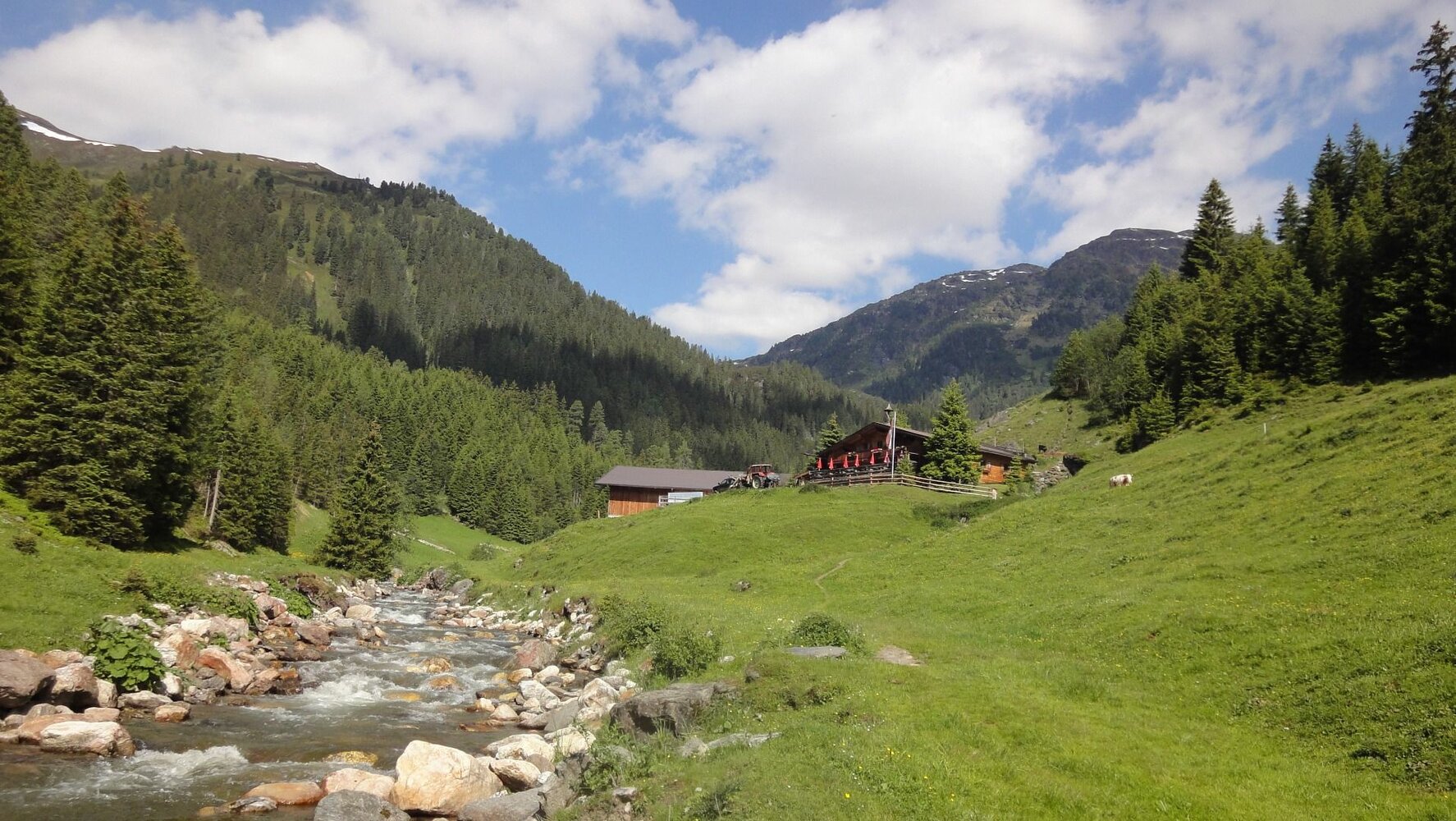
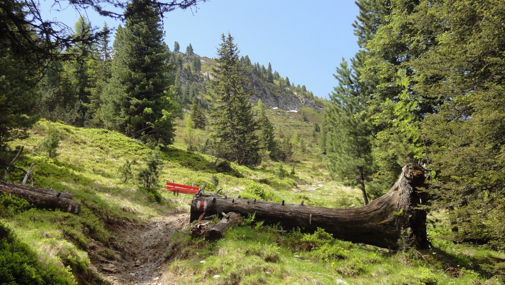
The Krummbach valley is the "thumb" of the five Gerlos side valleys and begins at the parking lot of the Isskogelbahn. In direction to the district Innertal you reach the "Krummbach" bridge after 700 meters. From here the trail starts rising slightly into the Krummbach valley (further trail on asphalt - suitable for baby carriages - to the Gasthof Almstüberl). Follow the gravel trail until you reach the junction, which leads you to the Prölleralm (Another option: if you branch off there, you will reach the Prölleralm after approx. 900m). Continue along the stream and you will finally reach the Krummbachrast. It is recommended to try out the cheese from the show dairy. After some replenishments, you can either head back or hikers in good condition can continue over Nöckentalalm until they reach the mountain station of the Isskogel cable car.