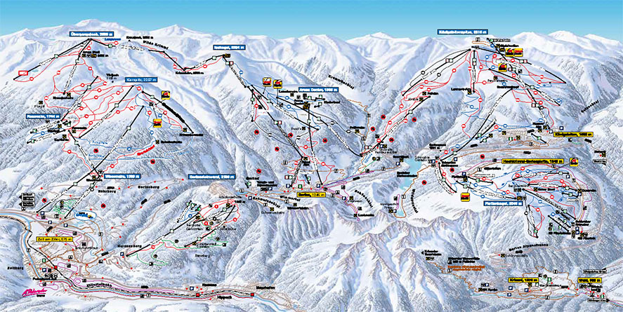
The hike over the "Gerloser Wiesenweg" begins in the Innertal at the parking of the Isskogelbahn. Before the Krummbach Bridge the road leads left past the "Landhaus Platzer". After approx. 100 m, the path road branches off to the right. Always following the "Gerloser Wiesenweg" uphill, you reach the "Rössl Alm" in about 1 hour.
Return on the same route.
Gerloser Wiesenweg
Overview
Walking time
02:30 h
Time Uphill
01:30 h
Time downhill
01:00 h
Route Length
7.9 km
Difficulty
Middle
altitude meters uphill
300 hm
altitude meters downhill
300 hm
highest point
1600 m
webx_gs_stamina
pictogram?
webx_gs_skill
pictogram?
webx_gs_public_transport
With the bus 4094 to Gerlos.
Exit point: Isskogelbahn
Exit point: Isskogelbahn
webx_gs_parking
At the Isskogelbahn
Route Start
Isskogelbahn valley station (1.300m)
Route End
Isskogelbahn valley station (1.300m)
Altitude Profile
Weather


