High altitude cross country Lackenalm - Issalm - L4
Description
Cross country trail closed!
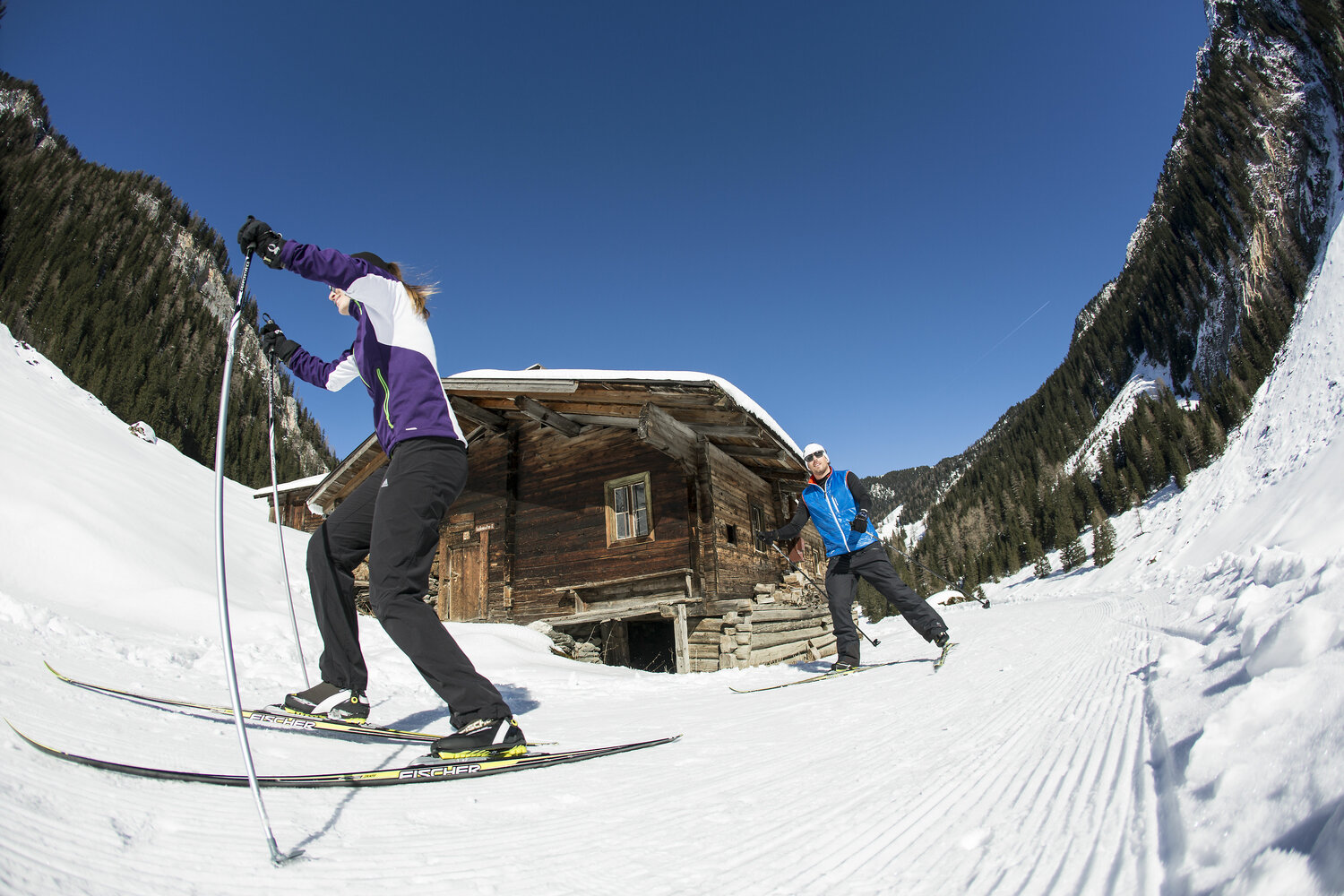
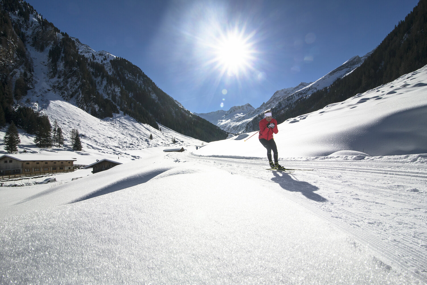
Slightly ascending cross-country skiing track to the idyllically situated Issalm. The track leads from the Lackenalm on the Güterweg path about 2 km slightly uphill to the Issalm, where it ends in the impressive valley head at Isswände. Winter hikers and cross-country skiers share one track, so special care and consideration is required.