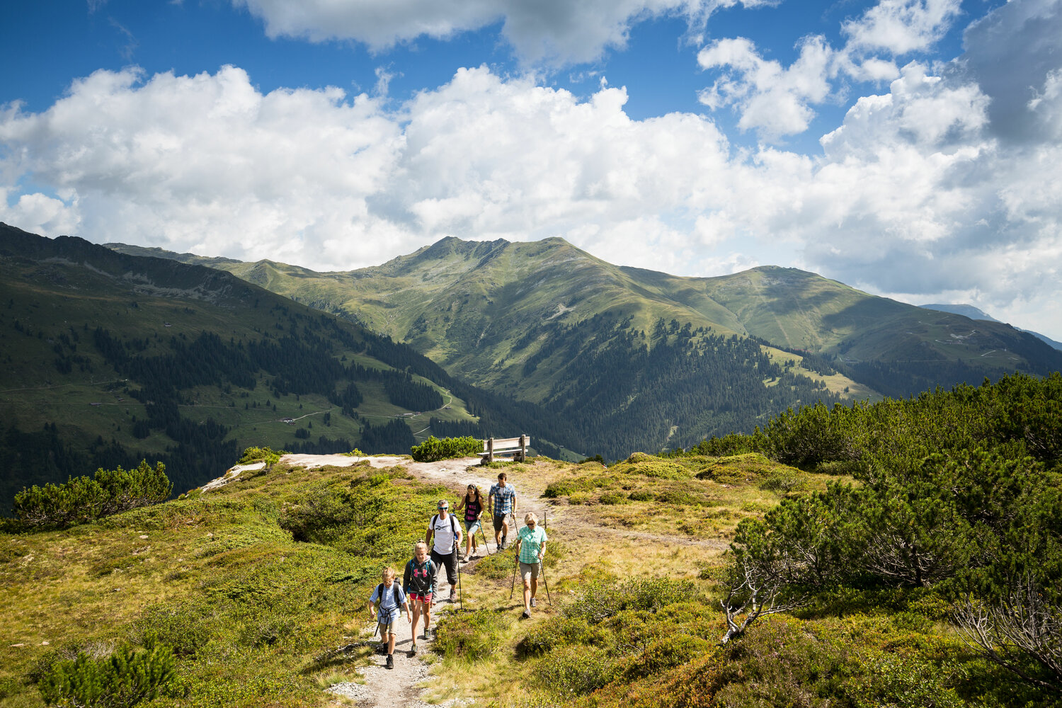
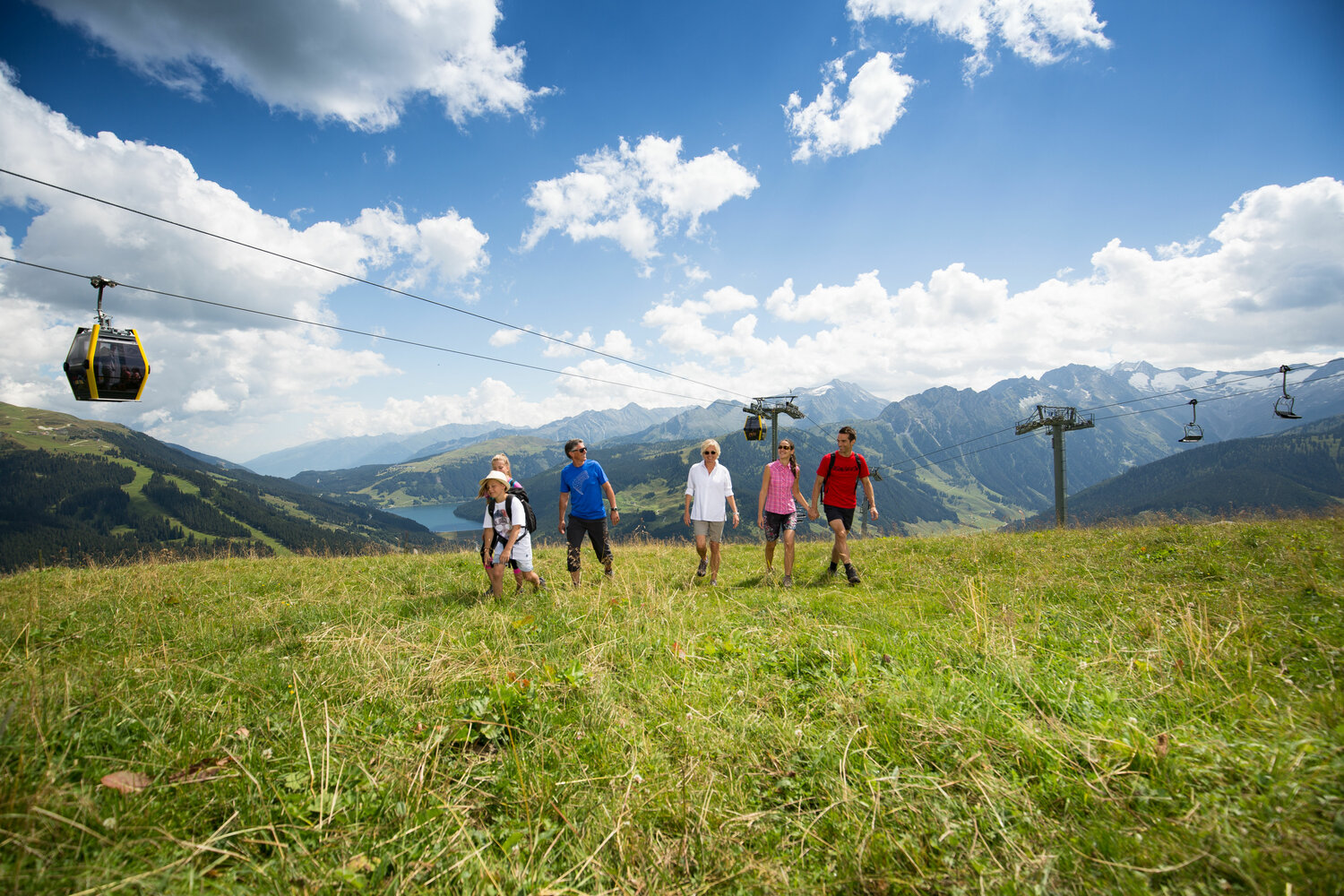
With the Isskogelbahn you can easily reach the starting point at the mountain station from the cable car (1,864 m). From here, the hiking trail no.1 leads from the Latschenalm (1,950 m), over the "Ebenfeld", further over gently fields towards to the Vorkogel. The last half hour to the summit of the Isskogel (2.264 m) is a bit steeper uphill over a green grassberg.
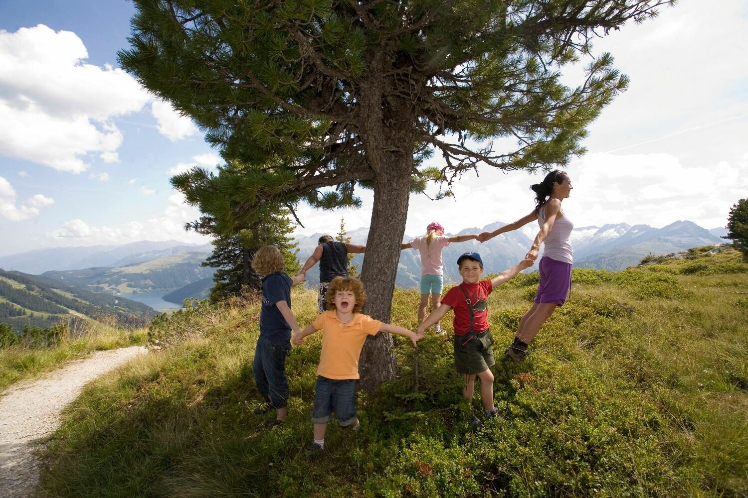
TIP for families: On the way back to the top station of the Isskogelbahn you will pass the „Kinderspielweg“ Latschenalm - a large area with information about animals and flowers on the pasture and much more. There is also a small zoo and a huge playground. In addition, a path leads up to the Latschensee, where you can risk a dip in the water on sunny days. Further highlights are the wooden marble runs and climbing elements directly at the mountain station.
Hiking Tour Isskogel (2.263 m)
Description
Beautiful summit hike - with a detour into the Latschenland hightlight even for the smallest mountain enthusiasts.