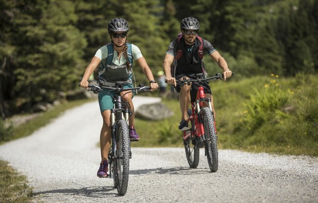
The starting point is at the music pavilion. After the bridge towards Schönachtal , keep to the right, the slightly ascending route continues on a goods path past the heating plant. Then gently sloping towards the forest playground along the stream to Gerlos-Gmünd. On the left bank of the Gmünder reservoir, the path leads to the entrance of the Schwarzach valley. You cycle over an initially narrow forest belt and wide gravel road to the Schwarzachalm.
- Winter
- Summer
- Zell
- Gerlos
- Wald-Königsleiten
- Krimml
-
Information & services
- Holiday information
- Service
- Live cams & weather
-
Everything at a glance
WEATHER6 °Compact clouds with no sunweather today (Königsleitenspitze)23 °Compact clouds with no sunweather today (Zell am Ziller)11 °Compact clouds with no sunweather today (Gerlosstein)22 °Compact clouds with no sunweather today (Hainzenberg)6 °Compact clouds with no sunweather today (Königsleitenspitze)23 °Compact clouds with no sunweather today (Zell am Ziller)PRINT @ HOME VOUCHERSPut together your individual voucher to print out yourselfPISTE INFORMATION120 cmsnow height109 / 150kilometers of slopesCABLE CARS & LIFTS42 / 52Cable cars and lifts
- Barrierefreiheit
-
Live
-
Live cams
Hochkrimml

-
Snow report
120cm snow height mountain60cm snow height valley0cm new snow height2avalanche level
-
Lifts & slopes
109kilometers of slopes13Cableways open17Chairlifts open12Drag lifts open
-
Weather
23 °Compact clouds with no sunweather today
- Interactive adventure map
-
Live cams
- Tickets
- Book your holiday


